


I'm a GIS Manager and Data Scientist building spatial data systems for the Tennessee Department of Agriculture, Division of Forestry.
I turn forest, field, and operational data into maps, workflows, and decision-making tools that help public-sector teams understand what is happening on the ground and act with confidence.
I live in Chattanooga, Tennessee. Outside of GIS and forestry, I love whitewater kayaking, climbing, scuba diving, and gravel biking.
| Repo | Description |
|---|---|
| cts-gis-portfolio | My professional portfolio website that is hosted via github pages. |
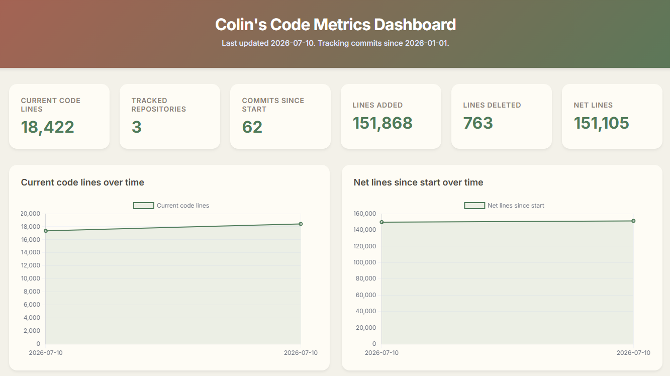
| cts-code-metrics | A dashboard that tracks lines of code and commits using cloc and git actions. |
| tin+topo | My tin+topo projects! |
| .github | The central repository for my community health files and templates. |
geospatial analysis        forest data systems        public-sector technology
data science workflows     practical automation       clear, useful outputs
jess! (human)              willow! (dog)              coconut! (dog)

I am the founder of tin+topo, where I make custom map prints and interactive mapping applications.
I welcome contributions and suggestions! The best way to engage is to open an issue to discuss a bug or new idea.
Please review my Contributing Guidelines before opening a pull request.
-
(Medium) GIS Case Study: Mapping Geohazards in the Philippines
-
(Medium) ArcGIS Pro & Python: Analyzing Land Cover Change in Major Global Urban Centers

